This website uses cookies so that we can provide you with the best user experience possible. Cookie information is stored in your browser and performs functions such as recognising you when you return to our website and helping our team to understand which sections of the website you find most interesting and useful.
SHAPE Local
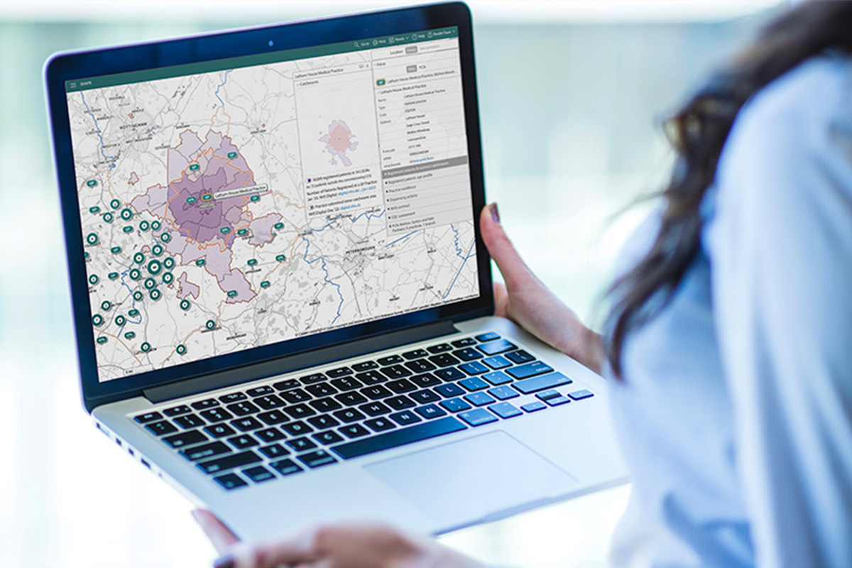
SHAPE Local enables you to overlay your own local datasets with the prepopulated national data, in a private, confidential workspace, to support scenario planning and decision making. Access will be given to your list of specified users and information can be locked to organisations and teams where necessary. SHAPE Local also includes developer time to create bespoke views, features and tools to support your mapping requirements.
SHAPE Local is delivered under an annual license, and is scalable to allow for further project, service data and functionality to be added at a later stage if required. SHAPE Local is currently being used by several ICBs to support decision making in; making best use of the available estate, commissioning services, driving efficiency savings, supporting cases for capital funding of projects and identifying potential disposal opportunities. SHAPE Local is also used collaboratively between One Public Estate organisations to map and highlight priority pipeline projects.
Core features and datasets
- NHS organisations, boundaries and sites
- Local infrastructure information
- Primary care patients, workforce make up, dispensing data, practice information and contracts including CQC information
- Population demographics and projections, including ethnicity, deprivation, poverty, disease prevalence and new census data
- Environmental data including flooding, nitrogen dioxide levels, sulphur dioxide levels and particulate matter levels
- Data overlays abilities
- Travel time analysis including driving routes to nearest sites, travel time by foot, bike, car or public transport and distance and boundary visualisations
- Analysis tools including charts and tables, line graphs and RAG ratings
- Export capabilities for the maps as PCF documents and selected data sets to excel.
A full list of inclusive location information and data overlays is available upon request.

3
BESPOKE TRAINING
SESSIONS INCLUDED
9am-5pm
HELPDESK & LIVE
AGENT SUPPORT
4
ADDITIONAL
DEVELOPER DAYS
Looking for something else?
Still not sure what SHAPE offers or if its the right product to help with your specific challenge? We’re more than happy to schedule a call to understand what data problem you’re trying to solve and advise as to whether we can help. Please get in touch.


