This website uses cookies so that we can provide you with the best user experience possible. Cookie information is stored in your browser and performs functions such as recognising you when you return to our website and helping our team to understand which sections of the website you find most interesting and useful.
SHAPE Plus
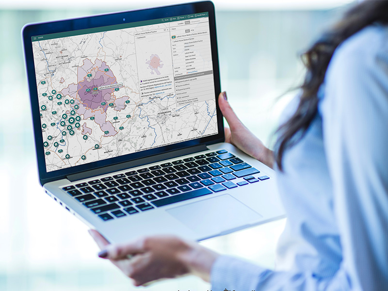
SHAPE Plus is an interactive application that supports the private sector with business case development, options appraisals and estates strategy planning.
Unlike other data mapping tools, SHAPE Plus is preloaded with national data sets from over 40 trusted sources, including NHS Digital, ODS, DEFRA, GOV.uk and QOF, providing demographic insight to support clinical and estates planning. The published data is updated either monthly or quarterly depending on the data source. There are also lots of tools that can be used to support scenario planning. The flexible geographies and catchment creation functionality enables a comprehensive overview of a locality and its needs.
SHAPE Plus users also benefits from exclusive features, data sets and tools, over and above those provided within the standard SHAPE Place version for the public sector. Plus customers are also invited to join the SHAPE Community, steering the R&D required to further enhance the platform exclusively for Plus users.
Features and datasets
- NHS organisations, boundaries and sites
- Local infrastructure information
- Primary care patients, workforce make up, dispensing data, practice information and contracts including CQC information
- Population demographics and projections, including ethnicity, deprivation, poverty, disease prevalence and new census data
- Environmental data including flooding, nitrogen dioxide levels, sulphur dioxide levels and particulate matter levels
- Data overlays abilities
- Travel time analysis including driving routes to nearest sites, travel time by foot, bike, car or public transport and distance and boundary visualisations
- Analysis tools including charts and tables, line graphs and RAG ratings
- Export capabilities for the maps as PCF documents and selected data sets to excel


Exclusive to SHAPE Plus
Exclusive features and datasets due to launch in Spring 2023 include:
- Education data
- Local economics data including economically active/inactive
population percentages and average house prices - Saved catchment creation and user added boundaries
- Bookmark and share functions
- Atlas reset functionality

100+
PRELOADED
DATA SETS
BESPOKE
TRAINING
SESSIONS
LIVE HELP
AND AGENT
SUPPORT
User insights
To find out how colleagues working to improve public services are utilising SHAPE, visit our user insights page.
Looking for something else?
Still not sure what SHAPE offers or if its the right product to help with your specific challenge? We’re more than happy to schedule a call to understand what data problem you’re trying to solve and advise as to whether we can help. Please get in touch.


